
Mount Prospect ZIP Coverage Map
USPS identifies 60056 as Mount Prospect's main postal ZIP. The Village parcel layer also contains 60004, 60005, 60016, 60070, ZIP+4-style values, and blanks. Those GIS values show that municipal and postal geography overlap in complex ways. They do not establish the full USPS service area for each code.
| ZIP Code | Areas Covered | Post Office | Notes |
|---|---|---|---|
| 60056 | Main Mount Prospect postal coverage | Mount Prospect Post Office | Validate each street for ZIP+4 |
| 60004, 60005 | Values present in Village parcel data | Verify through USPS | Municipal location does not set mailing city |
| 60016 | Edge value present in Village GIS | Verify through USPS | Exact boundary subset was not published |
| 60070 | Value present on municipal features | Prospect Heights postal identity | Strong city-versus-postal mismatch clue |
| Blank | Some GIS features lack a value | Use exact-address lookup | Never copy a nearby parcel's ZIP |
The local post office is at 300 W Central Road, Mount Prospect, IL 60056-2470. USPS is the authority for deliverability and a final ZIP+4. Its data may update on a 30-to-60-day cycle, so record the date of a postal check. The Mount Prospect ZIP code directory treats every other value as an address-level research lead, not a blanket claim about a neighborhood.
Verify a Mount Prospect ZIP
Start with the USPS Mount Prospect Post Office page and the USPS ZIP lookup for the exact deliverable address. The official facility capture below anchors the primary 60056 postal identity.
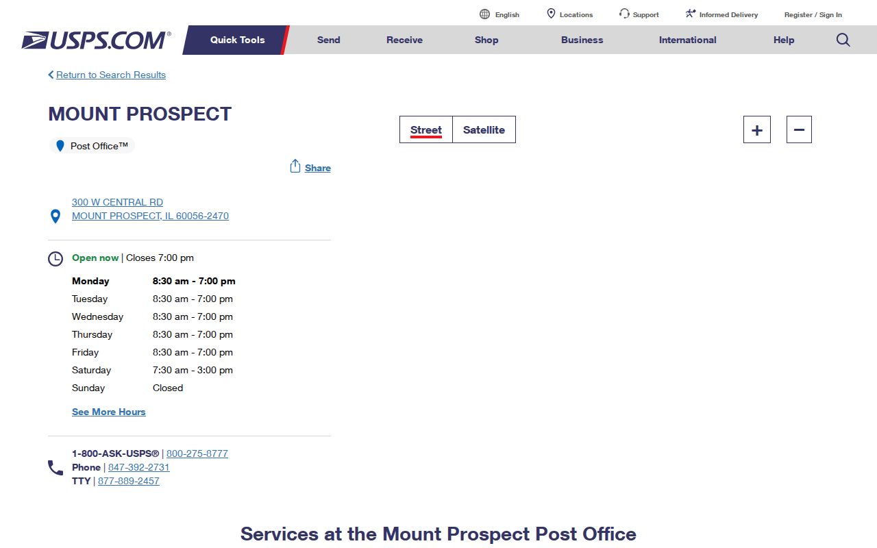
The postal result should be saved exactly as returned, including mailing city and ZIP+4. Then compare it with the Village and county systems.
Mount Prospect GIS ZIP Values
The Village parcel layer schema exposes a ZIP_4 field beside PIN, address, annexation, zoning, township, subdivision, district, service-provider, and taxpayer fields. That combination makes the GIS useful for boundary research. It also shows why ZIP is only one part of a location record.
The captured layer page documents the fields available to the municipal map service.
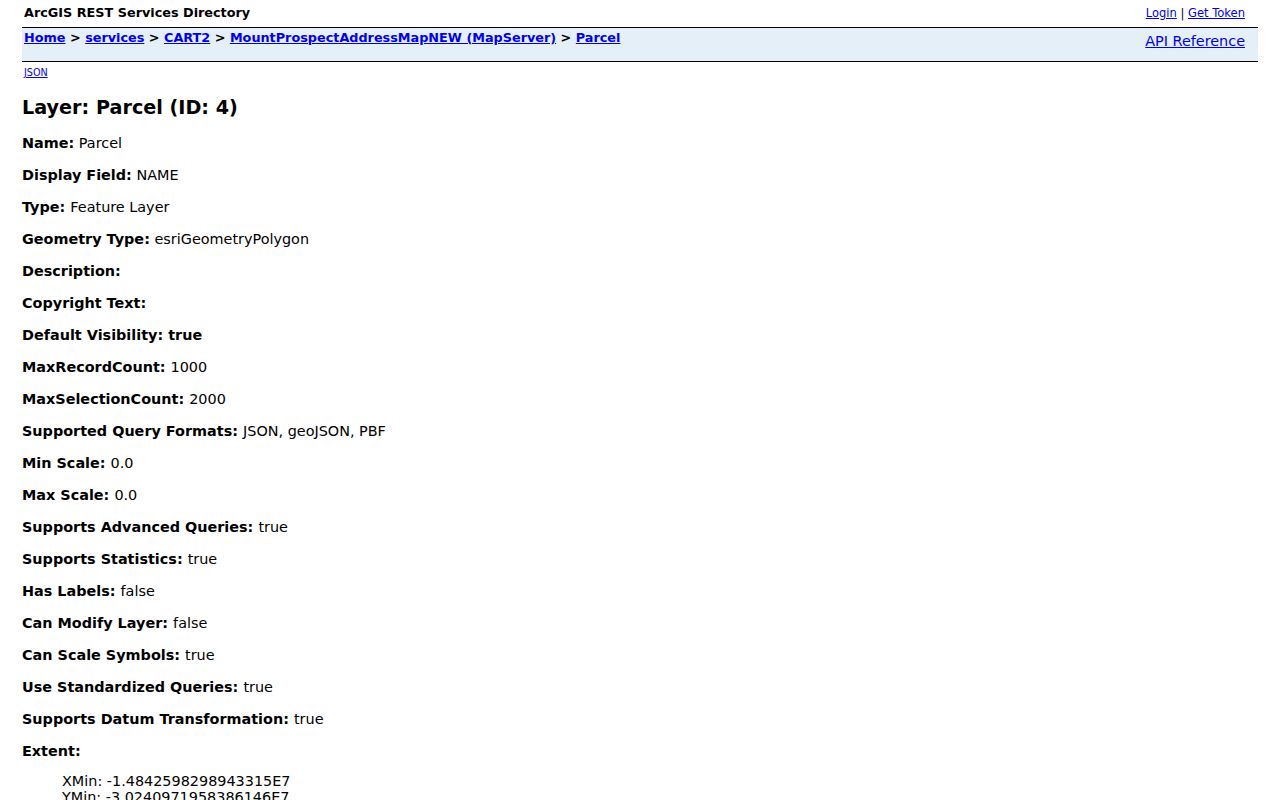
A ZIP value from this layer describes the feature as stored by the Village. USPS still controls the mailing answer.
Search Mount Prospect by ZIP
Not every official portal accepts a ZIP filter. The Cook County property-information route does; the Assessor's basic address mode visibly asks for a city instead. Village GIS exposes ZIP as a stored field, while voter information remains restricted and should not be treated as a public ZIP roster. Follow the controls each agency actually provides.
- Verify the complete mailing address and ZIP+4 with USPS. Preserve the returned postal city.
- Search the Cook County property portal by full address, PIN, or its available ZIP field. Keep situs and mailing addresses distinct.
- Inspect the Village GIS parcel and its ZIP, annexation, township, subdivision, and district fields.
- Use a name or address in the record system suited to the question. Do not turn a ZIP into a claim of current occupancy.
Once the area is narrowed, the Mount Prospect street directory explains the full address and parcel chain. That handoff avoids treating a broad postal zone as a list of households.
Mount Prospect ZIP Search Fields
Each system expects a different location key. Entering the same text everywhere can hide a valid result. The Mount Prospect ZIP code directory separates the official controls this way.
| Official System | Useful Fields | Limit |
|---|---|---|
| USPS | Street address, city, state | Postal result, not village boundary proof |
| Cook property information | PIN, address, ZIP code | Tax mailing may differ from situs |
| Assessor basic search | House number, direction, street, city, unit | No visible ZIP field in basic mode |
| Village GIS | Address, PIN, ZIP_4, annexation, district | Stored municipal feature value |
| Citizenserve | Project or property address | Dynamic field labels can change |
Use PIN and legal description when a postal label fails. A parcel identification number is the county's land key, while a legal description identifies land through lot, block, subdivision, or survey terms.
Mount Prospect Permit Address Search
Mount Prospect routes permit and property work through Citizenserve. Search by the project or property address shown by the live form. A ZIP can help normalize the address, but the permit itself is tied to the site and application record.
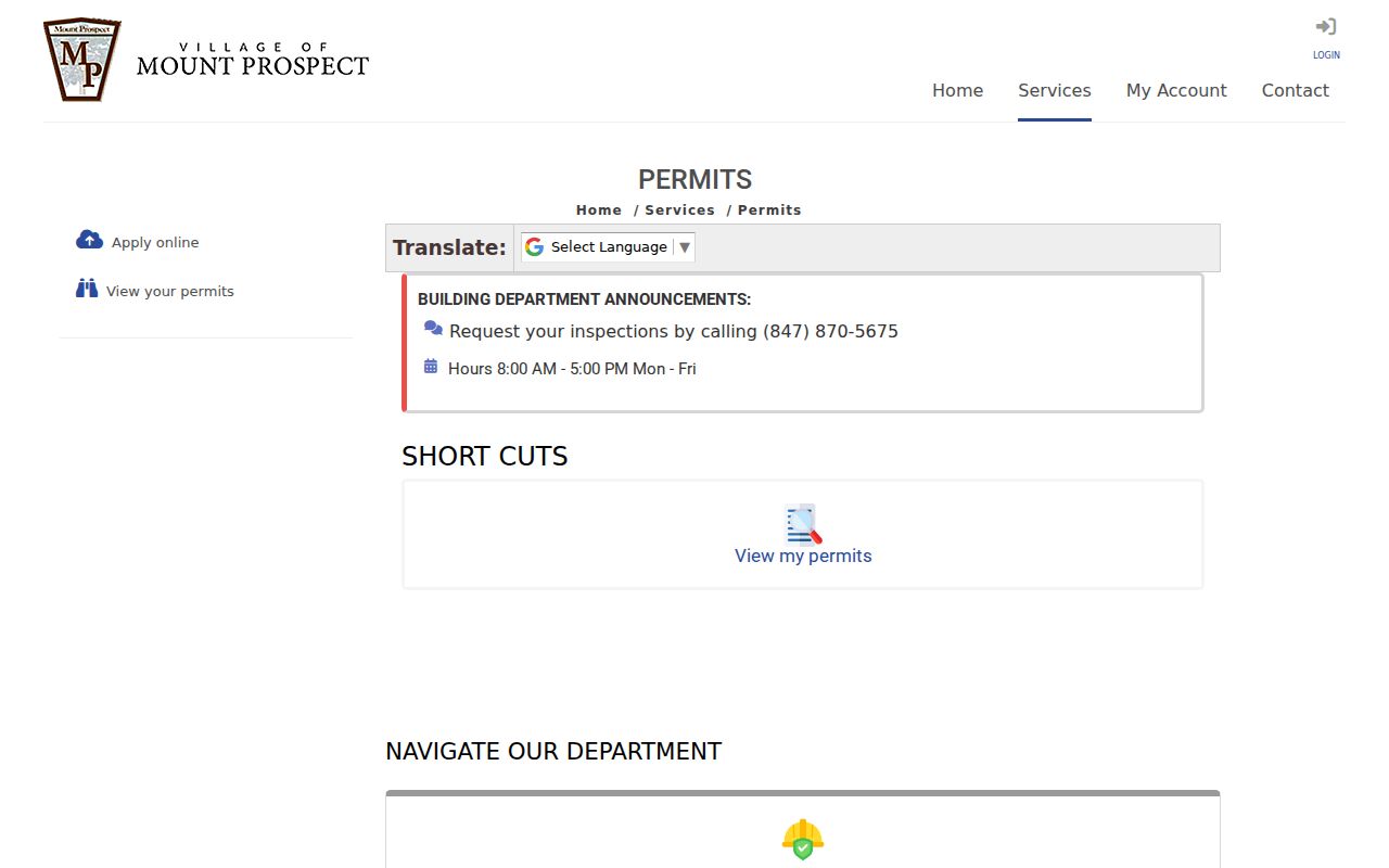
The image confirms the local address-search route. If a record is absent, contact the Village for the defined permit file rather than broadening into an unrelated name search.
Illinois City and ZIP Lookups
Two state tools accept location clues for narrow public roles. The Illinois notary search can use city and ZIP information, while the IDFPR license lookup supports professional credential research. Neither is a resident roster. A result shows a notary commission or license record.
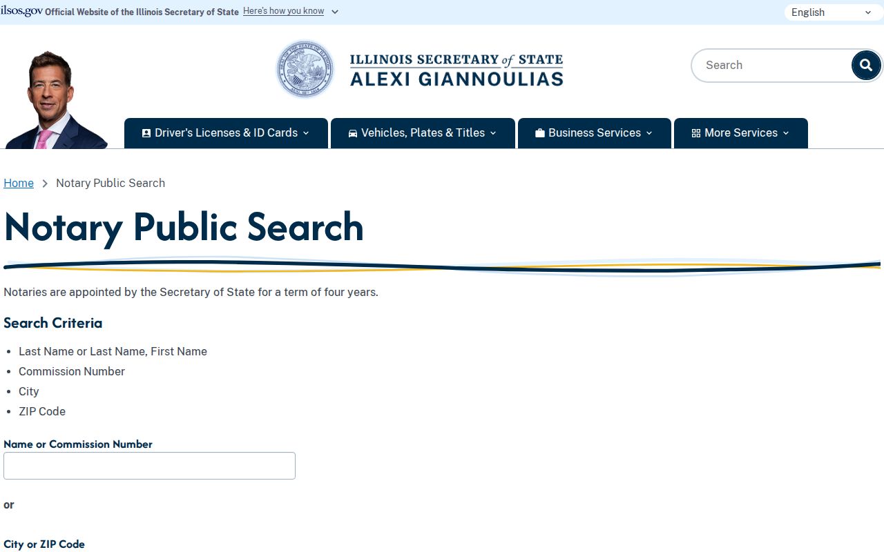
The notary interface demonstrates a true ZIP-capable official search.
The professional-license source uses its own filters. Open the current IDFPR search before comparing a captured screen.
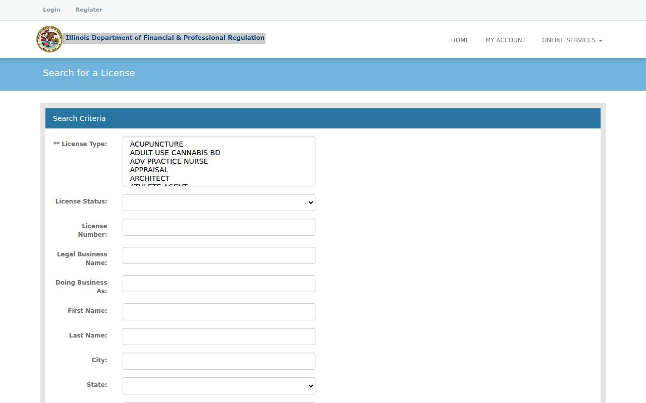
Keep the credential number, profession, status, and update date with the match.
Mount Prospect ZIP Boundary Clues
Mount Prospect incorporated in 1917 and later expanded through southern annexations in the 1970s and 1980s. The Village field Annex_Year can show when a parcel record associates land with the municipality. Township, quarter-section, subdivision, PIN, and legal-description fields supply a second path when a street or postal city has changed.
This is the useful local quirk: 60070 is identified by USPS with Prospect Heights, yet that value appears in Mount Prospect municipal GIS features. Treat the mismatch as evidence to compare systems. Preserve both labels and identify their sources. Never “correct” one database by silently replacing it with another.
The municipal sample at 50 S Emerson illustrates the layers. Its public parcel result carries ZIP 60056, B5C zoning, precinct 7, Elk Grove Township, and a 1917 annexation value. That example uses a Village taxpayer rather than a private household. It shows how one location can join postal, land, political, and historical fields without making ZIP the controlling key. The annexation value also matches the Village incorporation year, a clue worth testing against the centennial history and the recorded land instruments rather than treating the map field as a certified annexation document.
Note: CookViewer releases continued through May 28, 2026, so date any saved map or parcel image before relying on it.
Mount Prospect ZIP Limit Mismatches
A ZIP code is built for mail delivery, not municipal government. One code may cross a village line, and a Mount Prospect parcel may carry a neighboring postal city. School, park, precinct, township, congressional, and utility boundaries add more layers. The parcel's geometry and annexation field answer municipal questions; USPS answers mailing questions.
- ZIP vs ZIP+4
- A five-digit delivery area versus the more precise four-digit add-on for a delivery segment.
- PO-box ZIP
- A code or portion of a code used for post-office boxes instead of street delivery.
- Unique ZIP
- A ZIP assigned to one high-volume organization rather than a broad neighborhood.
- Carrier route
- The group of addresses served on one postal delivery route.
Boundary check. Never infer Mount Prospect residency from a ZIP alone. Confirm the exact address in USPS, county parcel records, and Village GIS.